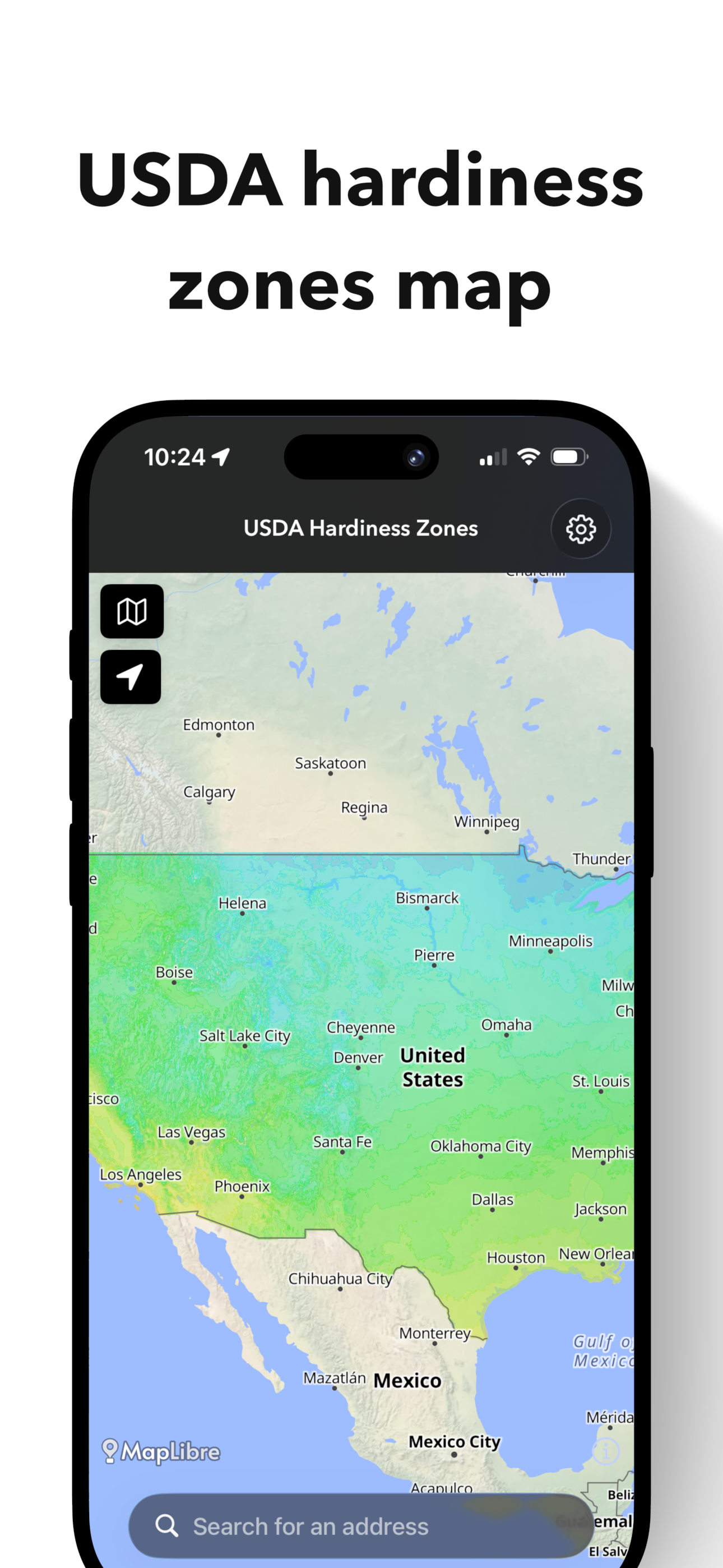
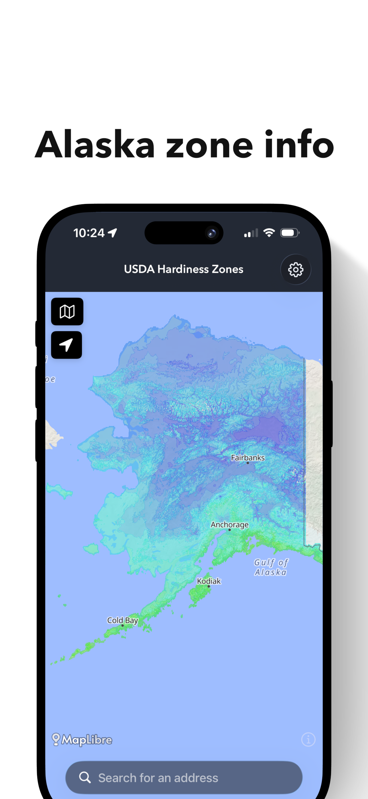
Every thriving garden begins with climate awareness. This app brings the official United States Department of Agriculture Plant Hardiness Zones into a living, interactive map — so you can explore growing conditions anywhere in the United States.
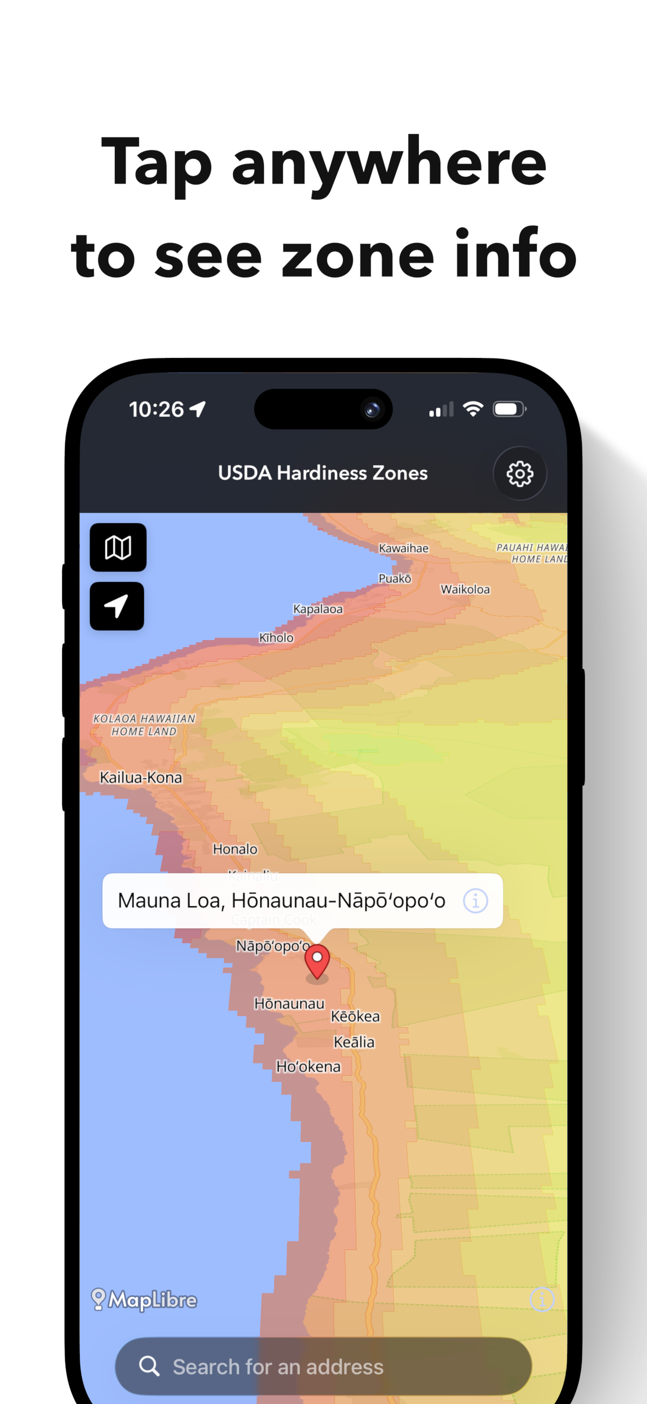
Tap any location on the map to instantly reveal:
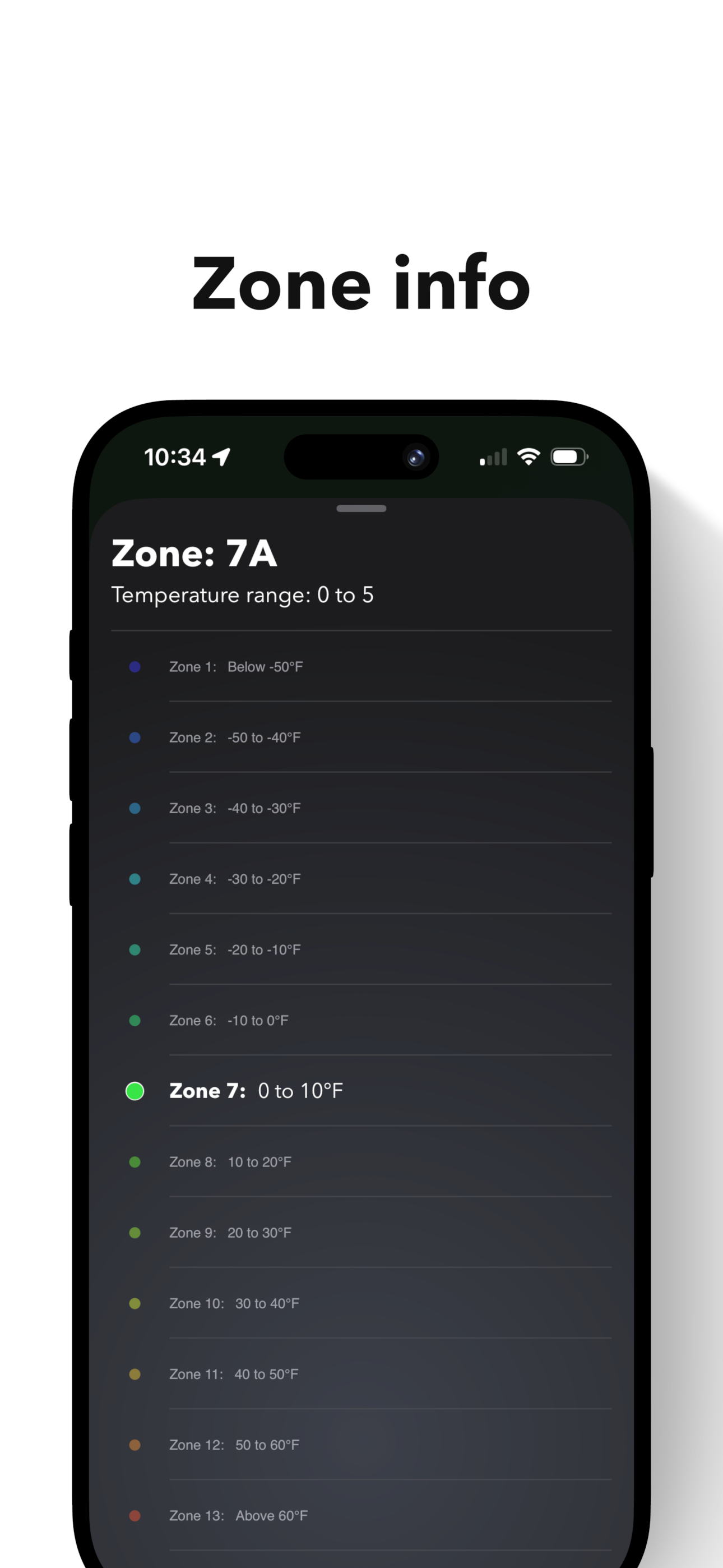
The official USDA hardiness zone
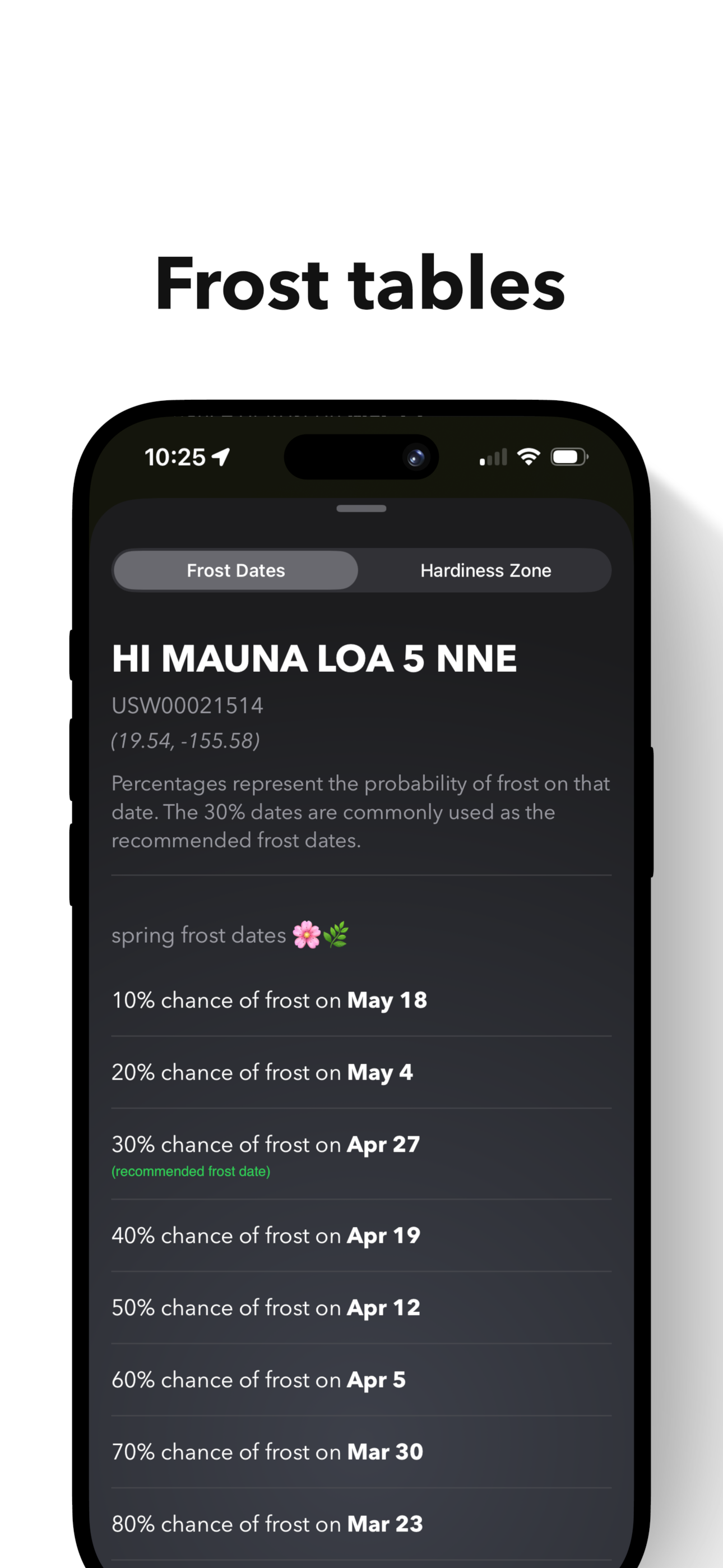
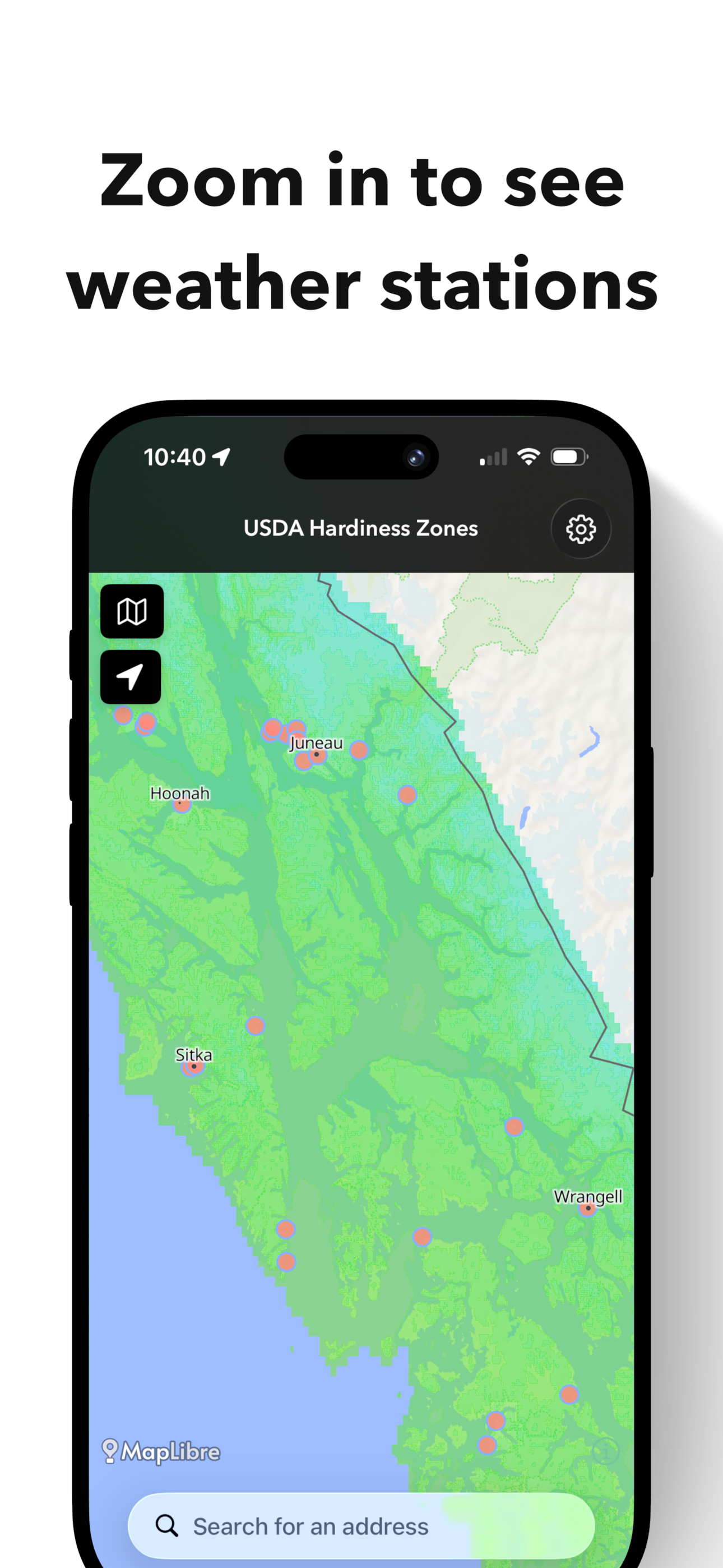
Nearby weather stations with frost tables
No guesswork. No generic region estimates. Just exact coordinates.
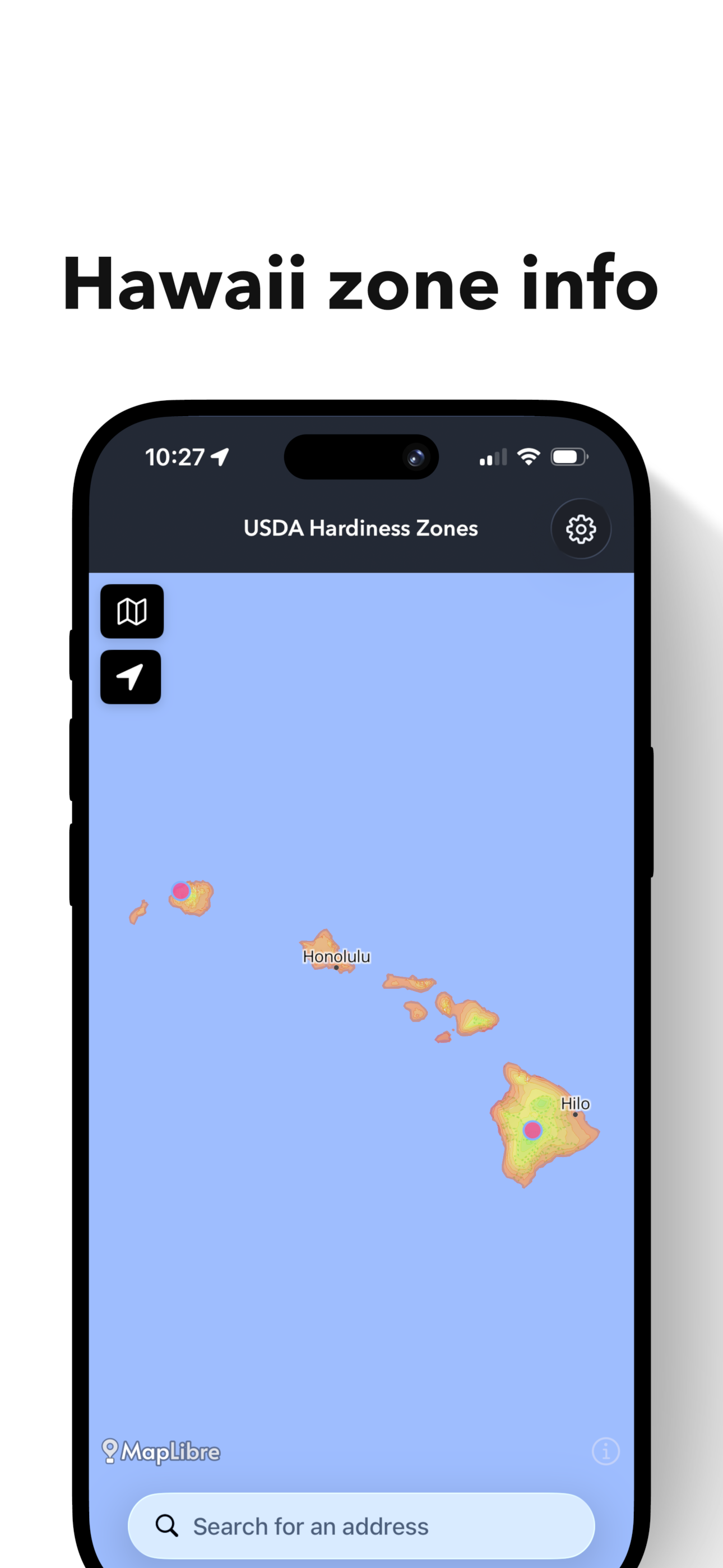
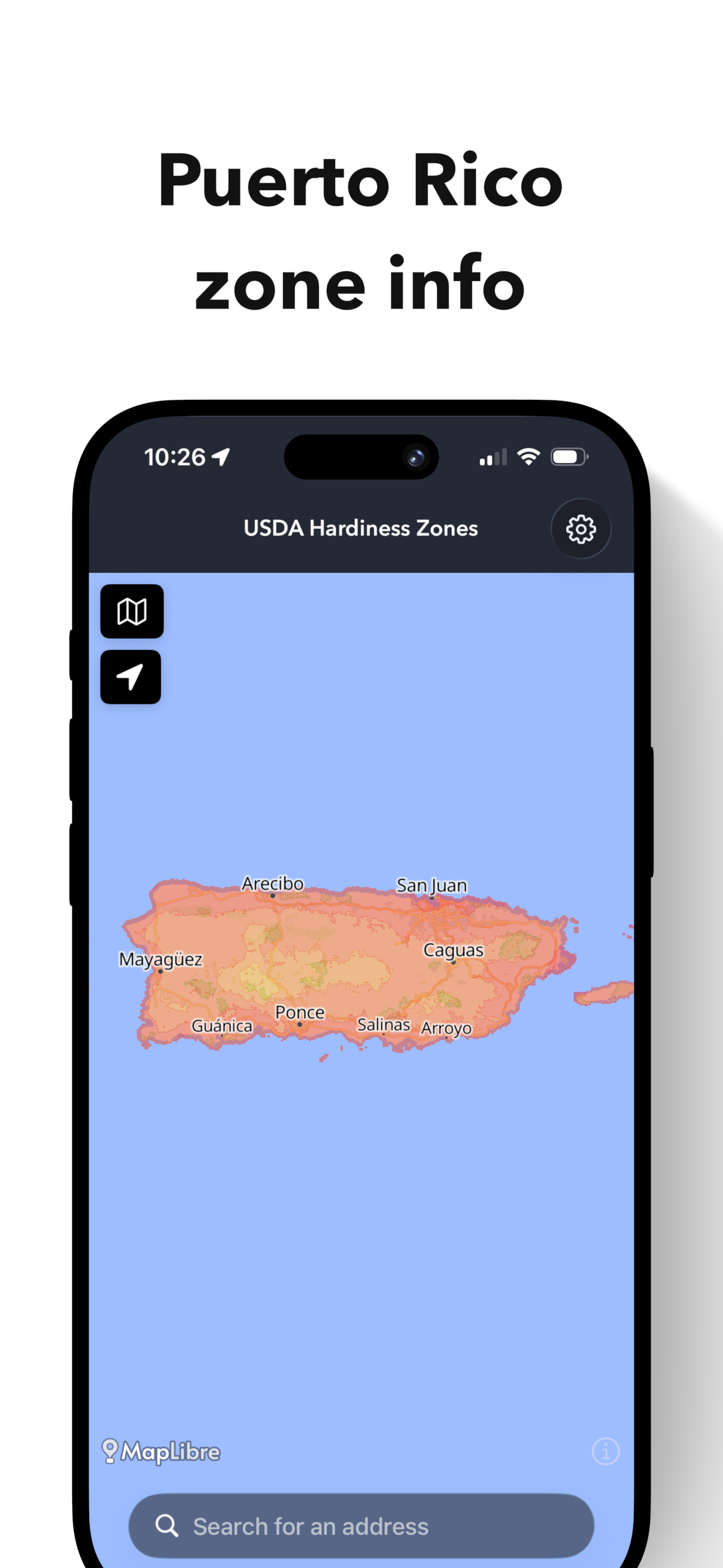
🌎 Interactive USDA Hardiness Zone Map
Explore official zone shapefiles provided by Oregon State University and view the most current USDA classifications in a seamless, touch-responsive map.
Whether you're:
Planning a vegetable garden
Choosing perennials
Researching fruit trees
Evaluating property for homesteading
Designing a landscape
You can verify growing zones instantly — anywhere in the U.S.
❄️ Frost Dates & Weather Station Data
Tap a weather station to access historical frost tables provided by National Oceanic and Atmospheric Administration.
View:
First and last frost dates
Freeze probabilities
Station-specific climate data
Hardiness zone for that station’s coordinates
Because planting decisions should be grounded in real climate history.
Built For Gardeners Who Care About Accuracy
This app is ideal for:
Backyard gardeners
Native plant enthusiasts
Master Gardeners
Permaculture planners
Homesteaders
Landscape architects
Climate-conscious growers
Understand your growing zone. Respect your frost dates. Grow with intention.